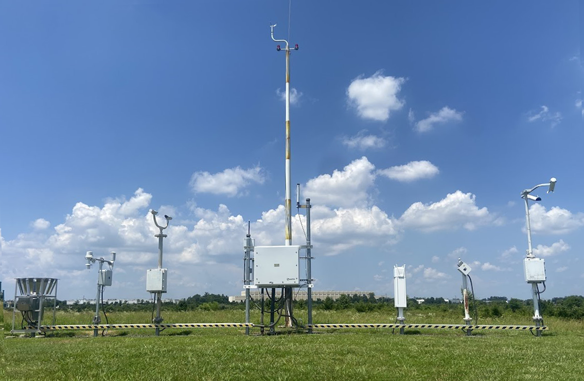
The Automated Surface Observing System (ASOS) is one of the major programs of the United States' surface weather observation network. A collaborative effort of the National Weather Service (NWS), the Federal Aviation Administration (FAA), and the Department of Defense (DOD), these automated stations consist of a suite of sensors and instruments that work 24/7 to provide continuous, real-time weather data. Primarily located at airports, ASOS units measure and report critical information such as wind speed and direction, temperature, precipitation type, and visibility, which are essential for safe and efficient aviation, as well as for public weather forecasting and climate research.
Without ASOS observations, flight operations could be delayed, air traffic might be unable to land or take off, and subsequent effects could prevent passengers and cargo from reaching their destinations on schedule, leading to economic repercussions. Surface weather observation is indispensable for day-to-day operations at these locations. By providing critical aviation weather parameters directly at airport runway touchdown zones, ASOS ensures that the information is available where it matters most.
There are around 950 Automated Surface Observing System (ASOS) sites across the United States. Each site is specifically configured to meet the needs of its location, providing crucial, real-time weather information.
On the right is a map showing the locations of these ASOS sites. By clicking on any site, you can view more detailed information, including its precise location and a list of the weather-monitoring equipment installed there.

